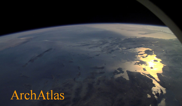
The ArchAtlas project aims to provide a visual summary of spatial processes in prehistoric and early historic times, such as the spread of farming, the formation of trade contacts, and the growth of urban systems, and to illustrate the locations of key archaeological sites. It uses GIS techniques to integrate georeferenced information on archaeological sites, cultural entities and contact routes with environmental data and satellite imagery.

DISCLAIMER
This site is produced for the purposes of academic research and the dissemination of knowledge about the ancient world. It has no political, religious or commercial affiliations, and its text and images imply no opinions concerning the present-day status of the areas it represents. It is not intended to be used for the purposes of navigation or as a practical guide to travel, and no responsibility is taken for any use which may be made of it other than for the purposes of academic study.
 Occasional Papers (2009-)
 Site Visualisations