Fasa and Darab
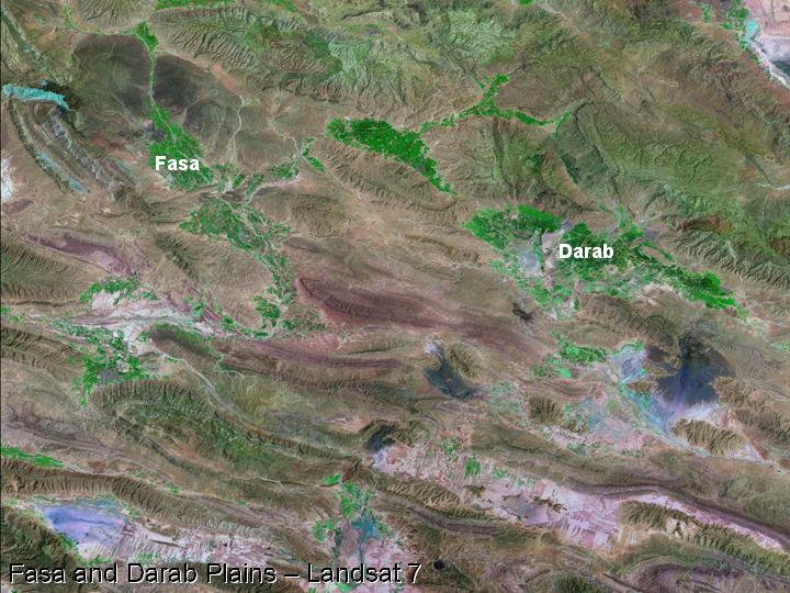
47) The plains of Fasa and Darab lie to the southeast of the Kur River Basin, and were initially visited by Sir Aurel Stein (1936).
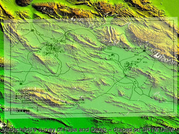
48) A more extensive survey of both of these plains was carried out by Pierre de Miroschedji (1972; 1974).
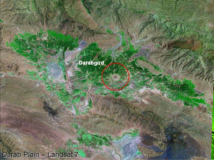
49) Most recently the Darab plain has been the subject of a collaborative project between the ICAR/ICHTO and the British Institute of Persian Studies. Similar to Firuzabad, there is a circular Sasanian city on the plain of Darab – known as Darabgird.
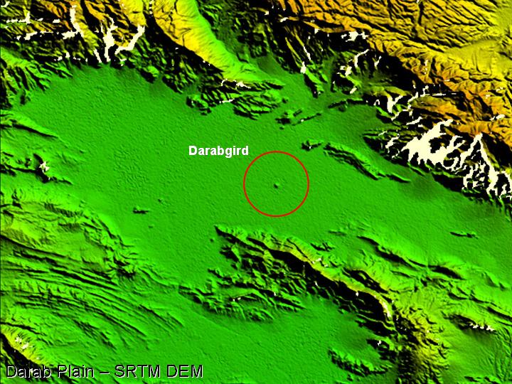
50) Darabgird is readily visible on the SRTM digital elevation . . .
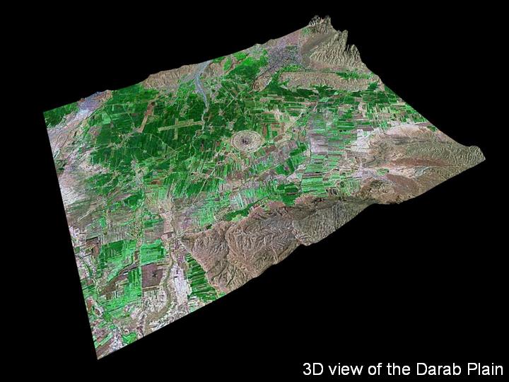
51) . . . and it is also prominent in this 3D image that shows the relationship between the site, the surrounding plain, and the ridges that bound it.
Back to main Routes and Plains in Southwest Iran page...
 Occasional Papers (2009-)
 Site Visualisations